


US DEPARTMENT OF DEFENSE. KOREAN WAR MAPS (1950-1953)
Similar Sale History
View More Items in Maps & Atlases


![1893 Civil War Map of Washington and NE. Virginia -- Surveys for Military Defenses Map of: Title: 1893 Civil War Map of Washington and NE. Virginia -- Surveys for Military Defenses Map of Northeastern Virginia and Vicinity of Washington [Sheet 1 Plate VII] Cartographer: US War Department Ye](https://p1.liveauctioneers.com/5584/241996/125442504_1_x.jpg?height=310&quality=70&version=1648585952)
![1893 Civil War Map of Northern Virginia -- Sheet 2. Survey for Military Defenses Map of Northeastern: Title: 1893 Civil War Map of Northern Virginia -- Sheet 2. Survey for Military Defenses Map of Northeastern Virginia and Vicinity of Washington [Plate VII] Cartographer: US War Department Year / Place](https://p1.liveauctioneers.com/5584/270923/141842311_1_x.jpg?height=310&quality=70&version=1670433092)
![Group of Five U.S. Army Battle Maps of Okinawa, Japan.: [WWII] Group of Five U.S. Army Battle Maps of Okinawa, Japan. Army Map Service, 1945. Printed reference maps prepared “For use by War and Navy Department Agencies Only”. Includes air traff](https://p1.liveauctioneers.com/928/124137/63148928_1_x.jpg?height=310&quality=70&version=1530051387)


Related Maps & Atlases


![Nicholson Map of the State of Virginia 1864: NICHOLSON, W. L. (19th Century). Map of the State of Virginia. Color-printed lithograph by Charles G. Krebs. [Washington, D.C.]: U.S. Coastal Survey under A.D. Bache, 1864. 24" x 37 1/2" sheet. Compar](https://p1.liveauctioneers.com/1968/330639/178336662_1_x.jpg?height=310&quality=70&version=1716827770)


More Items in Maps & Atlases
View More

![[Maps & Atlases] Oliva, Joan: Portolan Chart of the Mediterranean: [Maps & Atlases] Oliva, Joan: Portolan Chart of the Mediterranean Oliva, Joan Portolan Chart of the Mediterranean Marseille, 1615. Illuminated manuscript portolan chart on vellum, in red, blue, green,](https://p1.liveauctioneers.com/65/332523/179335172_1_x.jpg?height=310&quality=70&version=1717709445)


![Set of Twelve Satirical Anthropomorphic Maps of Europe: [SATIRICAL MAPS] A set of twelve satirical anthropomorphic maps of Europe. London: circa 1868. A set of 12 (believed complete) lithographed maps by Vincent Brooks, Day & Son, London, each offering](https://p1.liveauctioneers.com/292/330597/178279264_1_x.jpg?height=310&quality=70&version=1716409282)


Recommended Transportation & Travel Collectibles
View More


Item Details
Description
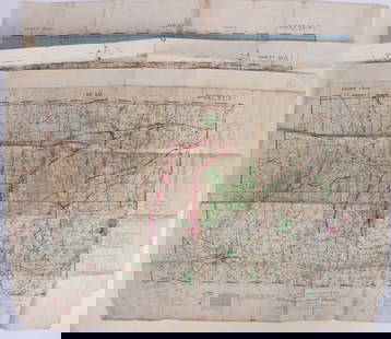
US DEPARTMENT OF DEFENSE. KOREAN WAR MAPS (1950-1953) INCLUDING SANGYONG, MAJON-NI, AND YANGHOP-TONG. Washington DC: US Army Map Service. Seven maps from the country, of Sangyong (17), Majon-Ni (8), Yanghop-Tong (8), Sibyon-Ni (7), Kap'Yong (10), Poch'On (9), and Chip'o-Ri (7). Each map measures up to 56cm x 62cm, with a map image of 37cm x 43.5cm. All are paper, and unfolded. (66) Condition is overall very good, with some showing minor discolouration and/or creasing. Good/very good.
Buyer's Premium
- 29% up to £500,000.00
- 17% above £500,000.00
US DEPARTMENT OF DEFENSE. KOREAN WAR MAPS (1950-1953)
Estimate £20 - £30
1 bidder is watching this item.
Shipping & Pickup Options
Item located in Bath, Somerset, ukOffers In-House Shipping
Local Pickup Available
Payment

TOP