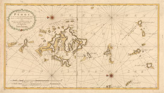
Early map of the Caspian Sea by De l'Isle
Similar Sale History
View More Items in Maps & Atlases

Related Maps & Atlases
More Items in Maps & Atlases
View MoreRecommended Transportation & Travel Collectibles
View More


Item Details
Description
Heading:
Author: De l'Isle, Guillaume
Title: Carte Marine de la Mer Caspiene [with] Cost de la Perse Sur la Mer Caspiene et Partie de Celles de Tartarie
Place Published: Paris
Publisher:Chez Sr. Delisle
Date Published: 1723
Description:
Author: De l'Isle, Guillaume
Title: Carte Marine de la Mer Caspiene [with] Cost de la Perse Sur la Mer Caspiene et Partie de Celles de Tartarie
Place Published: Paris
Publisher:Chez Sr. Delisle
Date Published: 1723
Description:
Copper-engraved map on two sheets. 46.5x62 cm (18¼x24½") & 43.5x62 cm (17¼x24½").
Important, two-sheet map from the surveys of Karl van Verden from 1719-21, the first accurate mapping of the Caspian Sea. The maps are engraved with relief along the shoreline shown pictorially, and the sea is crossed with rhumb lines. The northern sheet includes three inset maps of coastal details and the southern sheet includes three insets of river mouths on the Persian coast and two insets of gulfs on the coast of what is now Turkmenistan. The title of the second map is take from a banner across its top, but they can be considered a single map, though sometimes offered separately.
Condition
Some faint soiling and a few fox spots, very good or better.
Buyer's Premium
- 25%
Early map of the Caspian Sea by De l'Isle
Estimate $300 - $500
2 bidders are watching this item.
Shipping & Pickup Options
Item located in Berkeley, CA, usOffers In-House Shipping
Local Pickup Available
Payment

Related Searches
TOP


![[Maps] Gio. Ant. Magnini, Italia, 1620: [Maps] Gio. Ant. Magnini, Italia, 1620, Giovanni Antonio Magnini. Italia, data in luce da Fabio suo figliuolo al Serenissimo Ferdinado Gonzaga Duca di Matoua edi Monserrato etc. Bologna, for Sebastian](https://p1.liveauctioneers.com/188/326797/176317457_1_x.jpg?height=310&quality=70&version=1713847031)
![[Maps] Martin Zeiler, Itinerarium Italiae, 1640: [Maps] Martin Zeiler, Itinerarium Italiae, 1640, Martini Zeilleri. Itinerarium Italiae Nov-Antiquae: oder, Raiss-Beschreibung durch Italien, Matthaus Merian, Frankfurt, 40 plates, most double-page, in](https://p1.liveauctioneers.com/188/326797/176317459_1_x.jpg?height=310&quality=70&version=1713847031)


