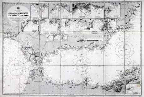
Nautical Map / Sea Chart, #1211 Martha
Similar Sale History
View More Items in Maps & Atlases
Related Maps & Atlases
More Items in Maps & Atlases
View MoreRecommended Transportation & Travel Collectibles
View More


Item Details
Description
Description: Nautical Map / Sea Chart, United States East Coast, Rhode Island - Connecticut - New York, Block Island Sound and Approaces9th edition, dec 23/63 stamped CORRECTED ONLY FOR AIDS & HAZARDS TO NAVIGATION THROUGH NOTICE TO MARINERS NO. 20 MAY 16 '64 U.S.C.&G.S. NEW YORK, N.Y. 10007; Shipping: $20; different rate to California, Alaska, Hawaii & all International. all measurements are approximate;
Condition
Good
Buyer's Premium
- 0%
Nautical Map / Sea Chart, #1211 Martha
Estimate $60 - $100
Shipping & Pickup Options
Item located in Bayshore, NY, usSee Policy for Shipping
Payment

Related Searches
TOP


![[Maps] Martin Zeiler, Itinerarium Italiae, 1640: [Maps] Martin Zeiler, Itinerarium Italiae, 1640, Martini Zeilleri. Itinerarium Italiae Nov-Antiquae: oder, Raiss-Beschreibung durch Italien, Matthaus Merian, Frankfurt, 40 plates, most double-page, in](https://p1.liveauctioneers.com/188/326797/176317459_1_x.jpg?height=310&quality=70&version=1713847031)


