
1825 Carte Geographique, Statistique et Historique Le
Similar Sale History
View More Items in Maps & AtlasesRelated Maps & Atlases
More Items in Maps & Atlases
View MoreRecommended Transportation & Travel Collectibles
View More


Item Details
Description
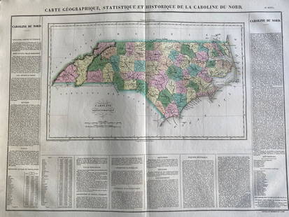
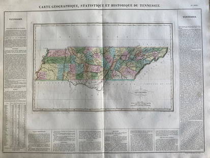
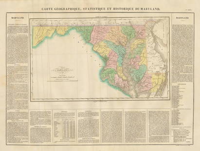
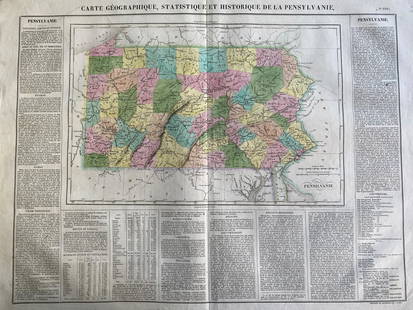
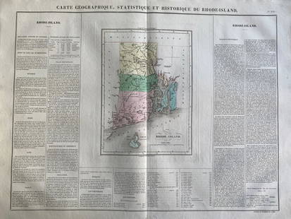
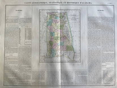
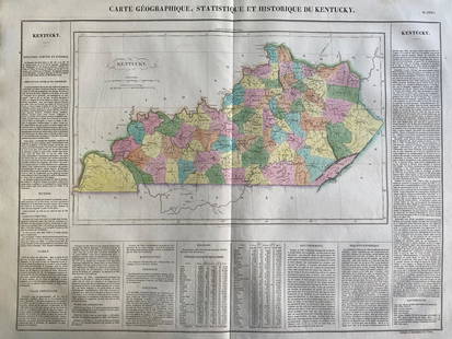
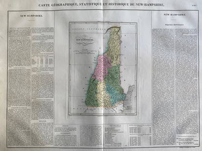
By: Jean Alexandre BuchonDate: 1825 (Published) ParisDimensions: 18.5 x 25 inches (47 cm x 64 cm)This antique map is a rare example by Buchon depicting the state of Ohio by itself, rather than together with adjoining states. Buchon based his work on Carey & Lea's famous 1822-3, "A complete Historical, Chronological, and Geographical American Atlas", however Buchon's work incorporated the latest geographical information of the day.The work is hand colored, and surrounded on three sides by text in French which describes the history of Ohio, its landscape, climate, and major cities. It also shows in great detail the waterways, rivers and the ocean. Commerce is described as is the history of the government, including a list of governors.
Condition
Condition: This map is in A condition, with minor water stains in a portion of the text.
Weight
0.5 lb
Buyer's Premium
- 25% up to $500,000.00
- 25% above $500,000.00
1825 Carte Geographique, Statistique et Historique Le
Estimate $50 - $150
2 bidders are watching this item.
Shipping & Pickup Options
Item located in Chicago, IL, us$10 shipping in the US
Payment

Related Searches
TOP




![[Maps] Gio. Ant. Magnini, Italia, 1620: [Maps] Gio. Ant. Magnini, Italia, 1620, Giovanni Antonio Magnini. Italia, data in luce da Fabio suo figliuolo al Serenissimo Ferdinado Gonzaga Duca di Matoua edi Monserrato etc. Bologna, for Sebastian](https://p1.liveauctioneers.com/188/326797/176317457_1_x.jpg?height=310&quality=70&version=1713847031)


