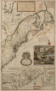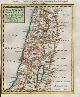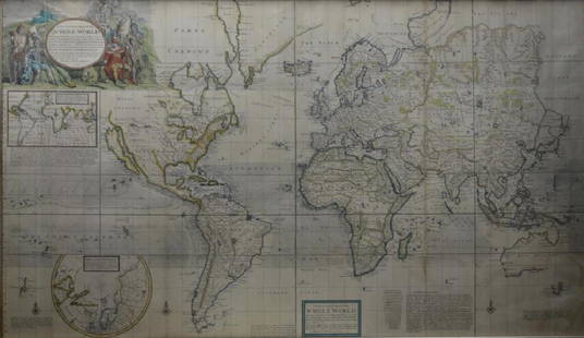
Moll, Herman 1732 Map of the Mediterranean, Hannibal
Herman Moll Sale History
View Price Results for Herman MollRelated Maps & Atlases
More Items from Herman Moll
View MoreRecommended Transportation & Travel Collectibles
View More


Item Details
Description
"Expeditio Hannibalis..." Copper Engraved Map Published 1732, London for "Geographia Antiqua" by Herman Moll. Folds as issued. Paper Size: 9.5 x 8 inch (24 x 20cm) Good Condition
Buyer's Premium
- 22%
Moll, Herman 1732 Map of the Mediterranean, Hannibal
Estimate $40 - $50
Shipping & Pickup Options
Item located in Chesterfield, ukOffers In-House Shipping
Payment

Related Searches
TOP


![[MAP]. ORTELIUS, Abraham. Peregrinationis Divi Pauli Typus Corographicus. 1592.: [MAP]. ORTELIUS, Abraham (1527-1598). Peregrinationis Divi Pauli Typus Corographicus. Antwerp, 1592. Engraved map with hand-coloring. Matted, framed, and double glazed, visible area 381 x 533 mm (unex](https://p1.liveauctioneers.com/197/329395/177650535_1_x.jpg?height=310&quality=70&version=1715364962)


![[MAP]. ORTELIUS, Abraham. Romani Imperii Imago. 1592.: [MAP]. ORTELIUS, Abraham (1527-1598). Romani Imperii Imago. Antwerp, 1592. Engraved map with hand-coloring. Matted, framed, and double glazed, visible area 381 x 521 mm (unexamined out of frame). 6 de](https://p1.liveauctioneers.com/197/329395/177650537_1_x.jpg?height=310&quality=70&version=1715364962)


![Moll, Herman: Moll, Herman [A Set of Thirty Six New and Correct Maps of Scotland Divided into Shires] [London: H. Moll, 1725]. 4to (23 x 18.5cm), later sheep-backed cloth, one leaf of descriptive text, 35 engraved](https://p1.liveauctioneers.com/94/330664/178342438_1_x.jpg?height=310&quality=70&version=1716466933)
![Moll, Herman: Moll, Herman A Set of Thirty Six New and Correct Maps of Scotland London: H. Moll…, [1725] 8vo, 36 double-page maps, contemporary quarter calf over boards, some repairs to guards and a little wo](https://p1.liveauctioneers.com/94/330664/178342425_1_x.jpg?height=310&quality=70&version=1716466933)


![[FLAGS]. 31-star American parade flag. Ca 1850-1859.: [FLAGS]. 31-star American parade flag. Ca 1850-1859. 22 x 36 1/2 in. cotton flag with 31 printed stars, configured in a double medallion surrounding a much larger central star, that is haloed in both](https://p1.liveauctioneers.com/197/329785/177758218_1_x.jpg?height=310&quality=70&version=1715625218)


