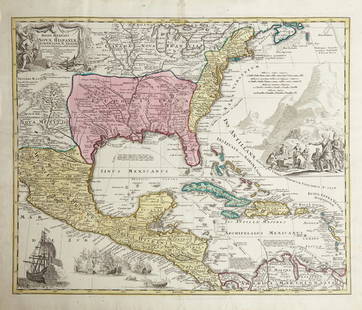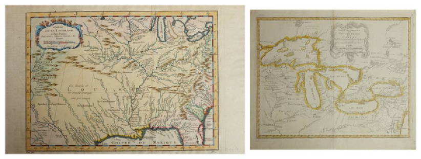
Two 17th Century Maps of England/Scotland and
Similar Sale History
View More Items in Maps & Atlases
Related Maps & Atlases
More Items in Maps & Atlases
View MoreRecommended Transportation & Travel Collectibles
View More


Item Details
Description
Two 17th Century Maps of England/Scotland and Ireland/France. Two hand-colored engravings, with text in French, with genealogies of the kings Larger: 15" x 19" Frames: 22.75" x 26.75"
Condition
*In all cases, prospective buyers are responsible for determining the physical condition of lots, as there are no returns based on condition. The printed conditions in the catalog entry are based on opinion only and are provided for guidance only, without legal obligation. The absence of condition reports in the catalog entry does not indicate that the item is in perfect condition.
**Susanin's does not perform any shipping or packing services. It is suggested that a quote is requested from a third party shipping company prior to the day of the auction. Please contact registration@susanins.com for a complete list of recommended shippers.
Buyer's Premium
- 30%
Two 17th Century Maps of England/Scotland and
Estimate $50 - $100
1 bidder is watching this item.
Shipping & Pickup Options
Item located in Chicago, Illinois, usSee Policy for Shipping
Payment

TOP


![Two Maps of Southwestern American Interest: Two Maps of Southwestern American Interest comprising the Map Of The Route Pursued In 1849 By The U.S. Troops, Under the Command of Bvt. Lieut. Col. Jno. M. Washington, Governor [of] New Mexico, in an](https://p1.liveauctioneers.com/197/208667/106254762_1_x.jpg?height=310&quality=70&version=1624480701)


![[PICTORIAL MAPS]. Two maps. Includes: JANNOT, J.B. (“Jan Lo...: [PICTORIAL MAPS]. Two maps. Includes: JANNOT, J.B. (“Jan Loup”). Grand Circuit Des Capitales. France: Agence Francaise de Propagande. Promotional map of Europe and Asia for Menier chocolat](https://p1.liveauctioneers.com/928/305275/163151899_1_x.jpg?height=310&quality=70&version=1697054833)


![d'Anville (Jean Baptiste Bourguignon) [Untitled Composite Atlas with 102 map sheets], [probably: d'Anville (Jean Baptiste Bourguignon) [Untitled Composite Atlas with 102 map sheets], comprising 20 double-page maps, 9 two-sheet double-page maps, 3 two-sheet maps on folding double-pages [Asia, Afri](https://p1.liveauctioneers.com/5458/329231/177514974_1_x.jpg?height=310&quality=70&version=1715269091)


![1593 de Jode Maps of Eastern Germany (Saxony Area) and Western Germany -- Mansfeldiae Comitatus ...: Title: 1593 de Jode Maps of Eastern Germany (Saxony Area) and Western Germany -- Mansfeldiae Comitatus ... [on sheet with] Clivensis et Iuliacensis Ducatum Cartographer: G De Jode Year / Place: 1593,](https://p1.liveauctioneers.com/5584/330117/177981830_1_x.jpg?height=310&quality=70&version=1716324705)


![[MAP]. TODESCHI, Pietro. [Nova et Acurata Totius Americae Tabula auct. G.I. Blaeu] America quarta: [MAP]. TODESCHI, Pietro. [Nova et Acurata Totius Americae Tabula auct. G.I. Blaeu] America quarta pars orbis quam plerunq, nuvum orbem appellitant primo detecta est anno 1492 a Christophoro Columbo...](https://p1.liveauctioneers.com/197/329395/177650542_1_x.jpg?height=310&quality=70&version=1715364962)


![[MAP]. ORTELIUS, Abraham. Americae Sive Novi Orbis, Nova Descriptio. 1573.: [MAP]. ORTELIUS, Abraham (1527-1598). Americae Sive Novi Orbis, Nova Descriptio. Antwerp, 1573. Engraved map with hand-coloring. Framed and double glazed, visible area 375 x 521 mm (unexamined out of](https://p1.liveauctioneers.com/197/329395/177650534_1_x.jpg?height=310&quality=70&version=1715364962)
![[MAPS]. HOMANN, Johann Baptist, HOMANN HEIRS, and Georg Matthäus SEUTTER. [Composite Atlas].: [MAPS]. HOMANN, Johann Baptist (1663-1724), HOMANN HEIRS, and Georg Matthäus SEUTTER (1678-1757). [Composite Atlas]. [Nuremberg, Augsburg, and others: Homann Heirs and others, maps dated between](https://p1.liveauctioneers.com/197/329395/177650530_1_x.jpg?height=310&quality=70&version=1715364962)


![[MAP]. ORTELIUS, Abraham. Turcici Imperii Descriptio.1592.: [MAP]. ORTELIUS, Abraham (1527-1598). Turcici Imperii Descriptio. Antwerp, 1592. Engraved map with hand-coloring. Matted, framed, and double glazed, sight 406 x 521 mm (unexamined out of frame). Decor](https://p1.liveauctioneers.com/197/329395/177650538_1_x.jpg?height=310&quality=70&version=1715364962)

![[MAP]. ORTELIUS, Abraham. Aevi Veteris, Typus Geographicus. 1601.: [MAP]. ORTELIUS, Abraham (1527-1598). Aevi Veteris, Typus Geographicus. Antwerp, 1601. Engraved map with hand-coloring. Matted, framed, and double glazed, visible area 343 x 470 mm (unexamined out of](https://p1.liveauctioneers.com/197/329395/177650532_1_x.jpg?height=310&quality=70&version=1715364962)


![[FLAGS]. 31-star American parade flag. Ca 1850-1859.: [FLAGS]. 31-star American parade flag. Ca 1850-1859. 22 x 36 1/2 in. cotton flag with 31 printed stars, configured in a double medallion surrounding a much larger central star, that is haloed in both](https://p1.liveauctioneers.com/197/329785/177758218_1_x.jpg?height=310&quality=70&version=1715625218)


