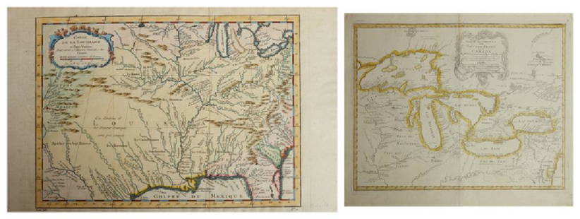
JACQUES NICOLAS BELLIN (FRENCH, 1703-1772) MAP OF
Similar Sale History
View More Items in Maps & Atlases
Related Maps & Atlases
More Items in Maps & Atlases
View MoreRecommended Transportation & Travel Collectibles
View More


Item Details
Description
JACQUES NICOLAS BELLIN (FRENCH, 1703-1772) MAP OF VIRGINIA AND MARYLAND, hand-colored, on laid paper, title to cartouche in lower right corner "CARTE / DE LA / VIRGINIE / MARI-LAND", with scale, upper right corner margin lettered "TOME I. No. 35"; in the style of the Fry-Jefferson map, most likely printed for an atlas. Circa 1764. 12 3/8" x 17 1/2" OA, 7 1/2" x 11 1/4" to neat lines.
Excellent condition overall, expected minor toning, some scattered minute spots of foxing or staining.
Published: William C. Woolridge - Mapping Virginia: From the Age of Exploration to the Civil War, p. 114, pl. 106.
Provenance: Property Deaccessioned by the Colonial Williamsburg Foundation, Williamsburg, Virginia. All proceeds to benefit the Collections Acquisitions Fund.
Condition
Excellent condition overall, expected minor toning, some scattered minute spots of foxing or staining.
Buyer's Premium
- 24.5%
JACQUES NICOLAS BELLIN (FRENCH, 1703-1772) MAP OF
Estimate $100 - $200
1 bidder is watching this item.
Shipping & Pickup Options
Item located in Mt. Crawford, VA, usSee Policy for Shipping
Payment

Related Searches
TOP


![Carte des Costes de France & d’Espagne'. France & Spain coasts. BELLIN 1746 map: CAPTION PRINTED BELOW PICTURE: Carte des Costes de France et d’Espagne [Map of the coasts of France & Spain] DATE PRINTED: 1746 IMAGE SIZE: Approx 23.5 x 29.0cm, 9.25 x 11.5 inches (Large); Plea](https://p1.liveauctioneers.com/5584/328641/177014362_1_x.jpg?height=310&quality=70&version=1715113718)
![Bellin Map of St. Salvador, Brazil -- Plan de la ville de St. Salvador [with] Vue de la Ville de St.: Title: Bellin Map of St. Salvador, Brazil -- Plan de la ville de St. Salvador [with] Vue de la Ville de St. Salvador du Cote de la Baye Cartographer: J Bellin Year / Place: 1757, Paris Map Dimension (](https://p1.liveauctioneers.com/5584/328338/176911634_1_x.jpg?height=310&quality=70&version=1715113718)


![HAND COLORED MAP OF PERU & COUNTRY OF THE AMAZONS, 1747, BY EMANUEL BOWEN, FRAMED: A New And Accurate Map Of Peru And The Country Of The Amazones. Drawn From The Most Authentick French Maps &C. And Regulated By Astronomical Observations, London]: William Innys [et al.], 1747. A deta](https://p1.liveauctioneers.com/957/328836/177180798_1_x.jpg?height=310&quality=70&version=1715021458)


![Carte du Golphe de Bothnie'. Gulf of Bothnia. Sweden Finland. BELLIN 1759 map: CAPTION PRINTED BELOW PICTURE: Carte du Golphe de Bothnie [Map of the Gulf of Bothnia] DATE PRINTED: 1759 IMAGE SIZE: Approx 22.5 x 18.0cm, 8.75 x 7 inches (Medium) TYPE: Antique copperplate map CONDI](https://p1.liveauctioneers.com/5584/328641/177014466_1_x.jpg?height=310&quality=70&version=1715113718)


![[Maps] Martin Zeiler, Itinerarium Italiae, 1640: [Maps] Martin Zeiler, Itinerarium Italiae, 1640, Martini Zeilleri. Itinerarium Italiae Nov-Antiquae: oder, Raiss-Beschreibung durch Italien, Matthaus Merian, Frankfurt, 40 plates, most double-page, in](https://p1.liveauctioneers.com/188/326797/176317459_1_x.jpg?height=310&quality=70&version=1713847031)
![[Maps] Gio. Ant. Magnini, Italia, 1620: [Maps] Gio. Ant. Magnini, Italia, 1620, Giovanni Antonio Magnini. Italia, data in luce da Fabio suo figliuolo al Serenissimo Ferdinado Gonzaga Duca di Matoua edi Monserrato etc. Bologna, for Sebastian](https://p1.liveauctioneers.com/188/326797/176317457_1_x.jpg?height=310&quality=70&version=1713847031)


![[MAP]. TODESCHI, Pietro. [Nova et Acurata Totius Americae Tabula auct. G.I. Blaeu] America quarta: [MAP]. TODESCHI, Pietro. [Nova et Acurata Totius Americae Tabula auct. G.I. Blaeu] America quarta pars orbis quam plerunq, nuvum orbem appellitant primo detecta est anno 1492 a Christophoro Columbo...](https://p1.liveauctioneers.com/197/329395/177650542_1_x.jpg?height=310&quality=70&version=1715364962)


